Log in
All resources
Create a design
11 Free Images of 17th Century Maps Of Scandinavia
old maps of scandinavia
17th-century maps of sweden
dutch-language maps
baptista van doetecum
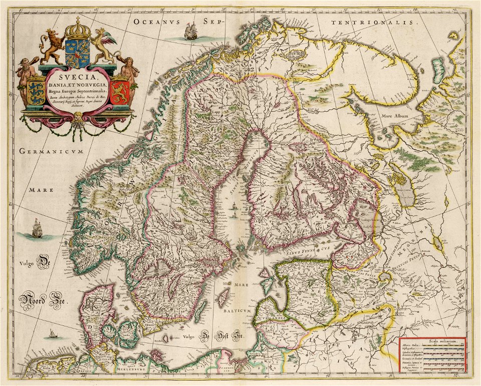
atlas maior, vol 2 (sweden, russia, poland, eastern europe, and greece) - joan blaeu, 1667 - bl 114.h(star).2
copper engraving print
british library
joan blaeu
cartography
norway
the voyage of the vega round asia and europe
third voyage of willem barentsz
maps by willem and johannes blaeu
copper engraving
maps made in the 17th century
old maps of scandinavia
17th-century maps of the baltic sea
17th-century maps of scandinavia
17th-century maps of scandinavia
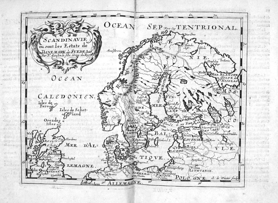
description de l'universe
atlas maior, vol 2 (sweden, russia, poland, eastern europe, and greece) - joan blaeu, 1667 - bl 114.h(star).2
17th-century maps of scandinavia
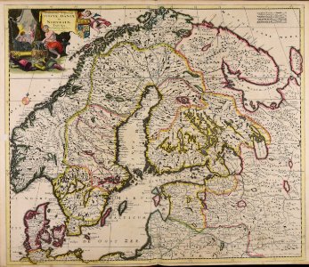
tresor des cartes geographiques (1659)
17th-century maps of scandinavia
atlas maior, vol 2 (sweden, russia, poland, eastern europe, and greece) - joan blaeu, 1667 - bl 114.h(star).2
17th-century maps of scandinavia
cartography
maps
cartography
maps
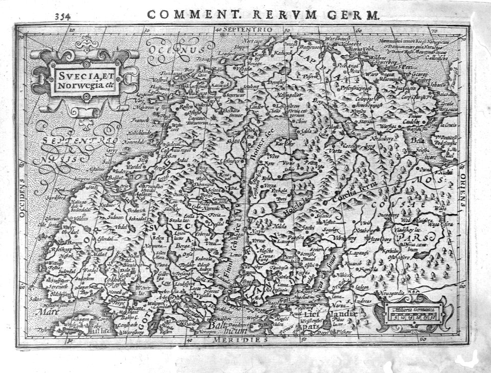
atlas ou representation du monde universel t. 1 (1633)
17th-century maps of scandinavia
1 - 11 of 11
/ 1


![Treasure of geographical maps of the main states of the universe [...], 1659](https://cdn.creazilla.com/illustrations/10000436833/treasure-of-geographical-maps-of-the-main-states-of-the-universe-1659-md.jpg)

![Gerardi Mercatoris and I. Hondii Atlas or Representation of the Universal World, and of the Parts of It, Made in Tables and Descriptions Very Ample, and Exact: Divided into Two Volumes [...]. [t. 1].](https://cdn.creazilla.com/illustrations/10001541341/gerardi-mercatoris-and-i-hondii-atlas-or-representation-of-the-universal-world-and-of-the-parts-of-it-made-in-tables-and-descriptions-very-ample-and-exact-divided-into-two-volumes-t-1-md.jpg)